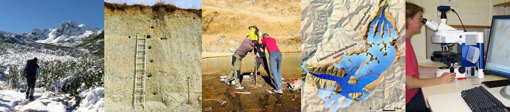
Mapping and description (fieldwork, UAV, LiDAR) of landforms of developed during past climate phases
- glacially shaped valleys and peaks, sedimentary record of past glacial tongues
- transformation of glacial valleys after deglaciation, rockfalls, rock glaciers, permafrost changes
- staircase of fluvial terraces developed during subsequent incision of the Danube
- glacier reconstruction for subsequent (mapped and dated) deglaciation phases
- permafrost modelling
Age determination of landforms using in situ produced cosmogenic radionucldes (CRN)
- direct quantification of the age of landforms – glacial, paraglacial, periglacial and fluvial
- joint application of several CRNs (10Be, 26Al, 36Cl, 14C) and
- Optically Stimulated Luminescence (OSL)
Coring sedimentary record of alpine lakes
- multi-proxy physical, paleo-ecological, geochemical and geochronological analysis: sedimentology, magnetic parameters, geochemistry, organic material content, pollen, charcoal, chironomids, diatoms and radiocarbon age determination + lipid biomarkers and eDNA used for the first time in this environment
Data synthesis: paleo-environment reconstruction and paleo-climate modelling